FROM PIXELS TO PLACES: GEOSPATIAL SOLUTIONS THAT INSPIRE ACTION
Rush Right brings nearly two decades of experience in deploying Enterprise Geospatial Solutions, tools, and platforms for a diverse range of clients, including the Federal Government, State Government, Local Governments, private sector entities, and not-for-profit organizations. Our primary focus is to provide comprehensive enterprise support to modernize geospatial platforms and applications, covering every aspect from initial setup and configuration to seamless integration.
We specialize in developing centralized systems that facilitate enterprise-wide connectivity, catering to a wide array of customer needs. Our expertise lies in implementing full-stack solutions, which can be hosted in various environments, including traditional client/server setups, Data Centers, Cloud Hosted infrastructures, or hybrid platforms.


Our team of experts meticulously plans, designs, and executes GIS solutions that span across entire organizations, ensuring a seamless integration of geospatial technology into existing workflows. We understand the intricacies of modern GIS systems and strive to deliver robust solutions that align with our clients’ unique requirements and objectives.
Our service covers a wide range of areas
- Strategic Planning, Needs Assessment, Requirements Gathering, Process / Workflow Documentation, Best Practices Adoption, and Solution Implementation / Integration
- Cloud Solutions and Service-Oriented Architecture
- Security Planning and Review
- Change Control and Content Management
- Emergency Response Planning and Preparedness
- Hardware / Software Standard Configuration
- Geospatial Policy and Standards Development
- Installation, Licensing, and Debugging
Rush Right develops customized applications to meet clients’ current and future needs by modernising workflows, reducing costs, and reaching the organization’s short and long-term goals. In addition, we own and maintain an independent enterprise-class development environment facilitating rapid prototyping and testing, accelerating application development while ensuring that final products meet client expectations.
- ArcGIS Platform
- Custom Widgets
- Desktop Solutions (extensions, scripting/automation, ETL tools)
- Web-based Solutions (e.g. ArcGIS Server / ArcGIS Online, Google Maps, Bing, OpenLayers)
- Mobile Solutions (GPS, Smartphone, and Tablet)
- Application Operations and Maintenance – Monitoring and Load Testing
- Customized Survey123 native applications
We organize and facilitate outreach and training for users of all skill levels. Our most frequently offered training sessions include:
- ArcGIS Desktop Training
- ArcGIS Server Training
- Geospatial Metadata Training
- GIS Helpdesk Support (documentation, SOP development, job aides, ticketing systems, tiered response, etc)
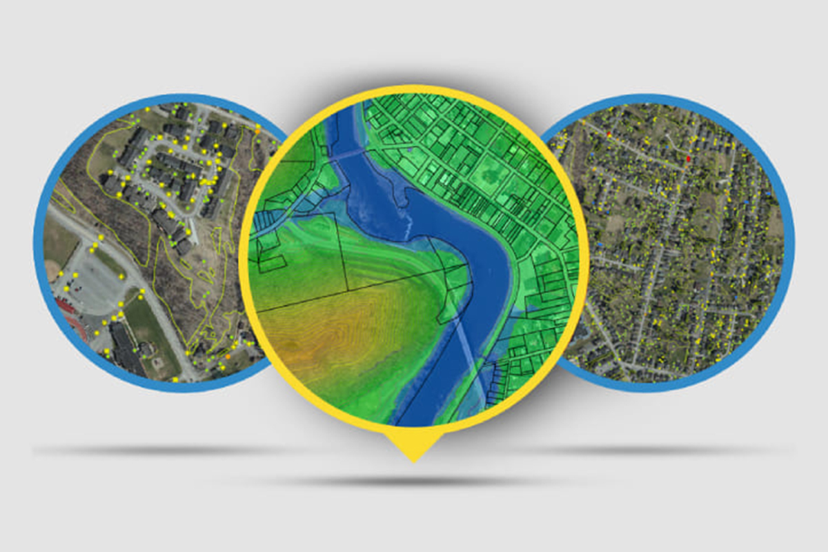
Our GIS experts and cartographers design accurate, interactive, and engaging maps to see relationships, patterns, and trends. We leverage a variety of data sources, from spreadsheets and databases to converting old paper files. This includes, but is not limited to:
- Data visualizations
- Topographic maps
- Surface maps
- Aerial Photos
- LiDAR data
- Drone data collection and processing
- Above ground and underground 3D Visualization
- Thematic Mapping and Cartographic Design
- Indoor Facility Mapping
- Remote Sensing, Imaging Processing, Analysis (Multispectral & Hyperspectral), and Multidimensional Rasters
- Emergency Response and Trend Analysis
Rush Right remains committed to creating a more connected, informed, and resilient world through our innovative and impactful solutions.

